Sker House
Introduction
The photograph on this page of Sker House by BARRIE TRIGG as part of the Geograph project.
The Geograph project started in 2005 with the aim of publishing, organising and preserving representative images for every square kilometre of Great Britain, Ireland and the Isle of Man.

There are currently over 7.5m images from over 14,400 individuals and you can help contribute to the project by visiting https://www.geograph.org.uk
Sker House
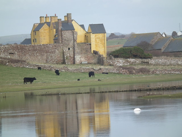
Image: © BARRIE TRIGG Taken: 4 Mar 2014
Sker House, Rest Bay, Porthcawl viewed across flooded fields.
Images are licensed for reuse under creativecommons.org/licenses/by-sa/2.0
Image Location
Latitude
51.504706
Longitude
-3.736996