The Close Benfleet
Introduction
The photograph on this page of The Close Benfleet by Glyn Baker as part of the Geograph project.
The Geograph project started in 2005 with the aim of publishing, organising and preserving representative images for every square kilometre of Great Britain, Ireland and the Isle of Man.

There are currently over 7.5m images from over 14,400 individuals and you can help contribute to the project by visiting https://www.geograph.org.uk
The Close Benfleet
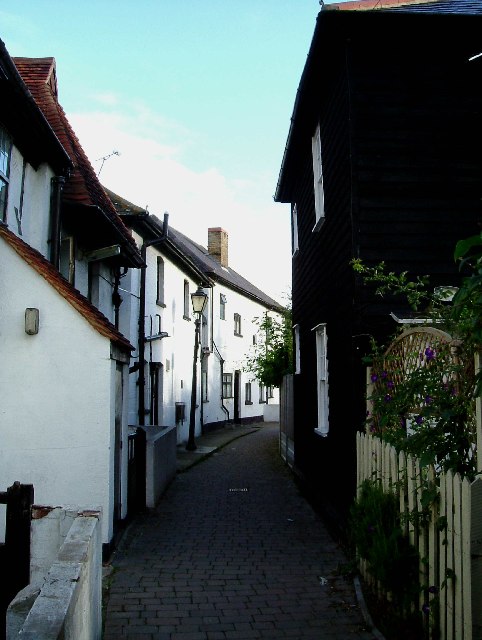
Image: © Glyn Baker Taken: 22 Aug 2005
A hidden delight of an alley between Benfleet Station and the Church, to the right is a traditional Essex weather board house
Images are licensed for reuse under creativecommons.org/licenses/by-sa/2.0
Image Location


Leaflet Map data © OpenStreetMap
Latitude
51.544883
Longitude
0.562733