Rackheath village sign
Introduction
The photograph on this page of Rackheath village sign by Evelyn Simak as part of the Geograph project.
The Geograph project started in 2005 with the aim of publishing, organising and preserving representative images for every square kilometre of Great Britain, Ireland and the Isle of Man.

There are currently over 7.5m images from over 14,400 individuals and you can help contribute to the project by visiting https://www.geograph.org.uk
Rackheath village sign
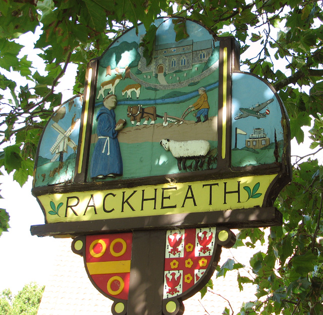
Image: © Evelyn Simak Taken: 29 Aug 2014
The B-24 Liberator bomber aircraft depicted at left commemorates the village's history when nearby RAF Rackheath was one of the aerodromes used by the United States Army Air Forces (USAAF) during WW2.
Images are licensed for reuse under creativecommons.org/licenses/by-sa/2.0
Image Location
Latitude
52.662817
Longitude
1.378297