Stonelea Drive, Rastrick
Introduction
The photograph on this page of Stonelea Drive, Rastrick by Humphrey Bolton as part of the Geograph project.
The Geograph project started in 2005 with the aim of publishing, organising and preserving representative images for every square kilometre of Great Britain, Ireland and the Isle of Man.

There are currently over 7.5m images from over 14,400 individuals and you can help contribute to the project by visiting https://www.geograph.org.uk
Stonelea Drive, Rastrick
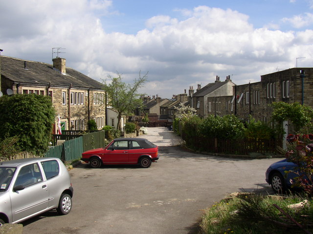
Image: © Humphrey Bolton Taken: 25 Apr 2007
This was formerly Delf Road, off the top of Delf Hill, but now has access from Crowtrees Lane. The cottages on the left were built in the 18C, and the ones on the right are of the early 19C with large flat-roofed extensions at the rear (they front onto Crowtrees Lane).
Images are licensed for reuse under creativecommons.org/licenses/by-sa/2.0
Image Location


Leaflet Map data © OpenStreetMap
Latitude
53.685284
Longitude
-1.79707