Converted former farm building at the junction of Ballyhosset and Tullynaskeagh roads
Introduction
The photograph on this page of Converted former farm building at the junction of Ballyhosset and Tullynaskeagh roads by Eric Jones as part of the Geograph project.
The Geograph project started in 2005 with the aim of publishing, organising and preserving representative images for every square kilometre of Great Britain, Ireland and the Isle of Man.

There are currently over 7.5m images from over 14,400 individuals and you can help contribute to the project by visiting https://www.geograph.org.uk
Converted former farm building at the junction of Ballyhosset and Tullynaskeagh roads
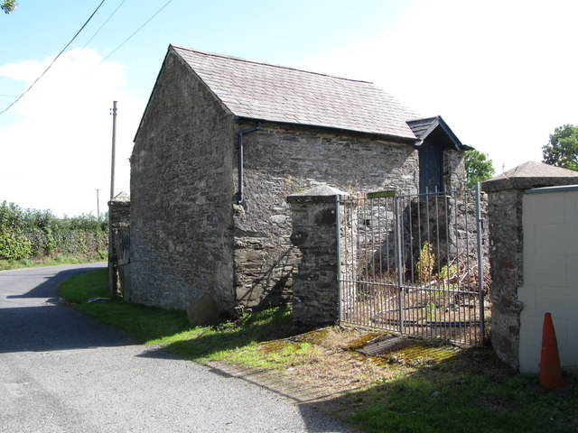
Image: © Eric Jones Taken: 18 Aug 2014
This is one of a group of farm buildings that have been converted into offices, sauna rooms and sun rooms. Image]
Images are licensed for reuse under creativecommons.org/licenses/by-sa/2.0
Image Location
Latitude
54.300975
Longitude
-5.617883