Shoring up the bank, Meacombe
Introduction
The photograph on this page of Shoring up the bank, Meacombe by Derek Harper as part of the Geograph project.
The Geograph project started in 2005 with the aim of publishing, organising and preserving representative images for every square kilometre of Great Britain, Ireland and the Isle of Man.

There are currently over 7.5m images from over 14,400 individuals and you can help contribute to the project by visiting https://www.geograph.org.uk
Shoring up the bank, Meacombe
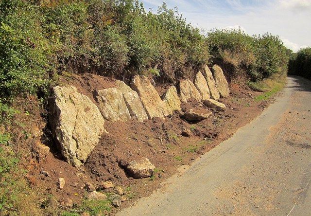
Image: © Derek Harper Taken: 28 Aug 2014
Measures to counter a collapsing bank opposite a field entrance on the narrow lane between Meacombe and Greenawell. The lane is the boundary between the parishes of Moretonhampstead (left) and North Bovey.
Images are licensed for reuse under creativecommons.org/licenses/by-sa/2.0
Image Location
Latitude
50.663709
Longitude
-3.800432