Far Laches Farm
Introduction
The photograph on this page of Far Laches Farm by Richard Law as part of the Geograph project.
The Geograph project started in 2005 with the aim of publishing, organising and preserving representative images for every square kilometre of Great Britain, Ireland and the Isle of Man.

There are currently over 7.5m images from over 14,400 individuals and you can help contribute to the project by visiting https://www.geograph.org.uk
Far Laches Farm
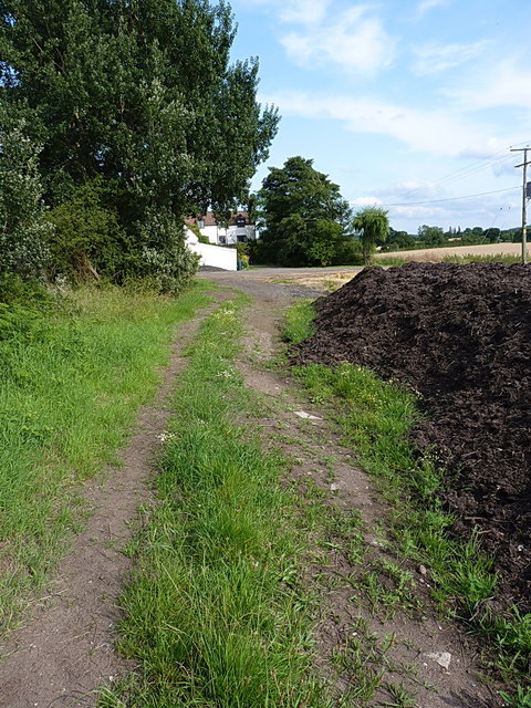
Image: © Richard Law Taken: 21 Jul 2014
A glimpse of some of the farm building from the bridleway that leads west and then northwest to Upper Laches.
Images are licensed for reuse under creativecommons.org/licenses/by-sa/2.0
Image Location
Latitude
52.65546
Longitude
-2.105064