Picnic Area Tan y Coed
Introduction
The photograph on this page of Picnic Area Tan y Coed by Stuart and Fiona Jackson as part of the Geograph project.
The Geograph project started in 2005 with the aim of publishing, organising and preserving representative images for every square kilometre of Great Britain, Ireland and the Isle of Man.

There are currently over 7.5m images from over 14,400 individuals and you can help contribute to the project by visiting https://www.geograph.org.uk
Picnic Area Tan y Coed
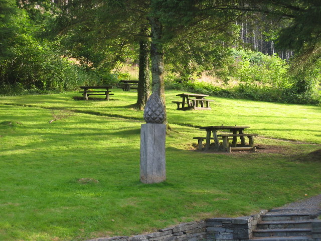
Image: © Stuart and Fiona Jackson Taken: 10 Aug 2005
This is the parking and picnic area at the start of the Tan y Coed forest trail.
Images are licensed for reuse under creativecommons.org/licenses/by-sa/2.0
Image Location


Leaflet Map data © OpenStreetMap
Latitude
52.632928
Longitude
-3.841053