Ragnall Hall
Introduction
The photograph on this page of Ragnall Hall by Alan Murray-Rust as part of the Geograph project.
The Geograph project started in 2005 with the aim of publishing, organising and preserving representative images for every square kilometre of Great Britain, Ireland and the Isle of Man.

There are currently over 7.5m images from over 14,400 individuals and you can help contribute to the project by visiting https://www.geograph.org.uk
Ragnall Hall
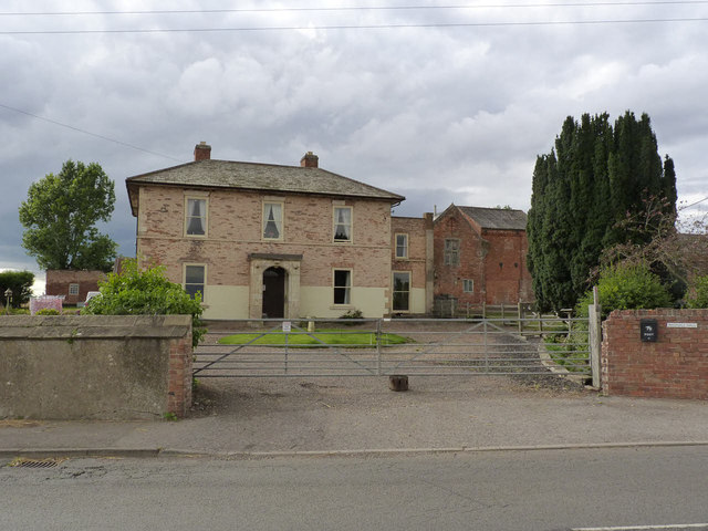
Image: © Alan Murray-Rust Taken: 22 Aug 2014
The main farmhouse is a 19th century modernisation of an early 17th century house, with farm buildings associated with it. Some of the 17th century structure can be seen to the right of the house, having been converted to storerooms. Listed Grade II.
Images are licensed for reuse under creativecommons.org/licenses/by-sa/2.0
Image Location
Latitude
53.252922
Longitude
-0.800436