Souters Field
Introduction
The photograph on this page of Souters Field by Simon Carey as part of the Geograph project.
The Geograph project started in 2005 with the aim of publishing, organising and preserving representative images for every square kilometre of Great Britain, Ireland and the Isle of Man.

There are currently over 7.5m images from over 14,400 individuals and you can help contribute to the project by visiting https://www.geograph.org.uk
Souters Field
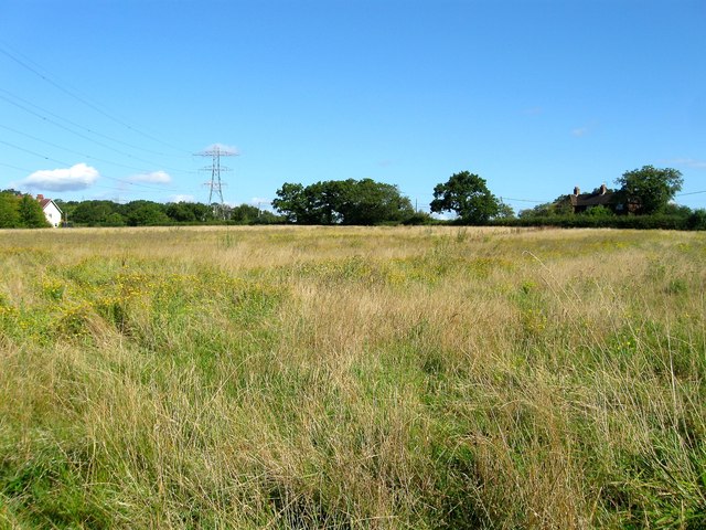
Image: © Simon Carey Taken: 23 Aug 2014
The name of the field according to Twineham's 1837 tithe map that lies to the north of Image and south and west of Bob Lane. To the east is Image which was partially built on the western end of the former field. The buildings in view are Twineham Grange Cottages to the left and Woodpeckers and Downsview, formerly Bobs Lane Cottages, to the right.
Images are licensed for reuse under creativecommons.org/licenses/by-sa/2.0
Image Location
Latitude
50.970706
Longitude
-0.225932