Old railway embankment near Burnton
Introduction
The photograph on this page of Old railway embankment near Burnton by Gordon Brown as part of the Geograph project.
The Geograph project started in 2005 with the aim of publishing, organising and preserving representative images for every square kilometre of Great Britain, Ireland and the Isle of Man.

There are currently over 7.5m images from over 14,400 individuals and you can help contribute to the project by visiting https://www.geograph.org.uk
Old railway embankment near Burnton
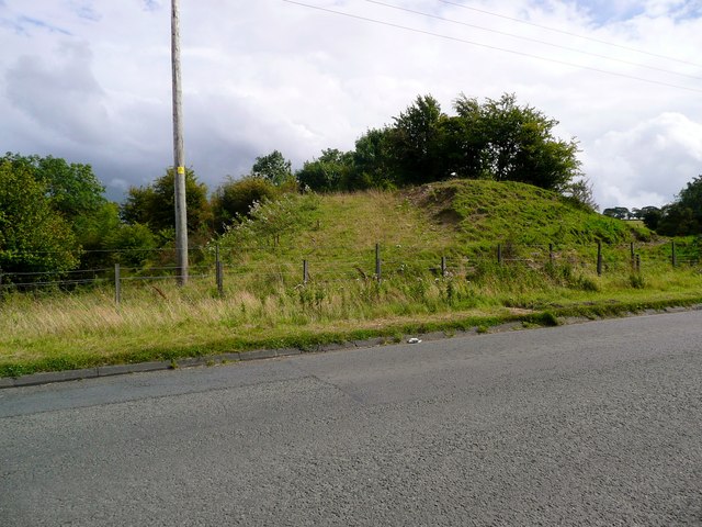
Image: © Gordon Brown Taken: 28 Aug 2014
No doubt associated with the deep and open-cast coal mining for which this area is known.
Images are licensed for reuse under creativecommons.org/licenses/by-sa/2.0
Image Location
Latitude
55.43412
Longitude
-4.380984