"The Embankment" site, Belfast (August 2014)
Introduction
The photograph on this page of "The Embankment" site, Belfast (August 2014) by Albert Bridge as part of the Geograph project.
The Geograph project started in 2005 with the aim of publishing, organising and preserving representative images for every square kilometre of Great Britain, Ireland and the Isle of Man.

There are currently over 7.5m images from over 14,400 individuals and you can help contribute to the project by visiting https://www.geograph.org.uk
"The Embankment" site, Belfast (August 2014)
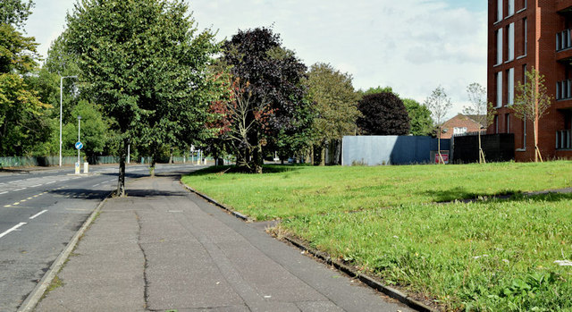
Image: © Albert Bridge Taken: 28 Aug 2014
The undeveloped part of the abandoned “Embankment” development, beside the Annadale Embankment, is behind the blue hoarding at middle right. There is no indication (at the date of submission) that a new developer will complete the scheme.
Images are licensed for reuse under creativecommons.org/licenses/by-sa/2.0
Image Location
Latitude
54.571662
Longitude
-5.927044