Nottingham Midland: new path to Queen's Road
Introduction
The photograph on this page of Nottingham Midland: new path to Queen's Road by John Sutton as part of the Geograph project.
The Geograph project started in 2005 with the aim of publishing, organising and preserving representative images for every square kilometre of Great Britain, Ireland and the Isle of Man.

There are currently over 7.5m images from over 14,400 individuals and you can help contribute to the project by visiting https://www.geograph.org.uk
Nottingham Midland: new path to Queen's Road
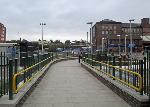
Image: © John Sutton Taken: 26 Aug 2014
This new path from Platform 7 to Queen's Road (ahead) is shown from above in David Hallam-Jones's Image], taken from the nearby multi-storey car park.
Images are licensed for reuse under creativecommons.org/licenses/by-sa/2.0
Image Location
Latitude
52.946468
Longitude
-1.143492