Houses in between A201 and West Square
Introduction
The photograph on this page of Houses in between A201 and West Square by Hamish Griffin as part of the Geograph project.
The Geograph project started in 2005 with the aim of publishing, organising and preserving representative images for every square kilometre of Great Britain, Ireland and the Isle of Man.

There are currently over 7.5m images from over 14,400 individuals and you can help contribute to the project by visiting https://www.geograph.org.uk
Houses in between A201 and West Square
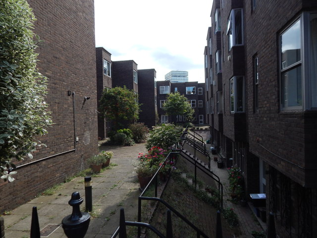
Image: © Hamish Griffin Taken: 3 Aug 2014
Google Maps actually marks the street this is on as West Square as well, however the other side of the square is Austral Street.
Images are licensed for reuse under creativecommons.org/licenses/by-sa/2.0
Image Location
Latitude
51.495524
Longitude
-0.105074