B551 junction with A502
Introduction
The photograph on this page of B551 junction with A502 by Stuart Logan as part of the Geograph project.
The Geograph project started in 2005 with the aim of publishing, organising and preserving representative images for every square kilometre of Great Britain, Ireland and the Isle of Man.

There are currently over 7.5m images from over 14,400 individuals and you can help contribute to the project by visiting https://www.geograph.org.uk
B551 junction with A502
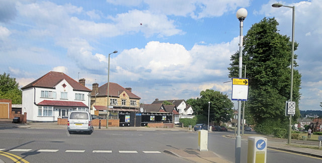
Image: © Stuart Logan Taken: 7 Aug 2014
This is Queens Road joining Brent Street north of Brent Green.
Images are licensed for reuse under creativecommons.org/licenses/by-sa/2.0
Image Location
Latitude
51.584354
Longitude
-0.218878