Dry stone wall near Rowen
Introduction
The photograph on this page of Dry stone wall near Rowen by Christopher Hall as part of the Geograph project.
The Geograph project started in 2005 with the aim of publishing, organising and preserving representative images for every square kilometre of Great Britain, Ireland and the Isle of Man.

There are currently over 7.5m images from over 14,400 individuals and you can help contribute to the project by visiting https://www.geograph.org.uk
Dry stone wall near Rowen
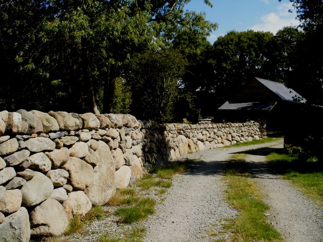
Image: © Christopher Hall Taken: 12 Aug 2014
A recently built or rebuilt dry stone wall flanking a track used as a public footpath. It follows the local tradition of having massive boulders at the base.
Images are licensed for reuse under creativecommons.org/licenses/by-sa/2.0
Image Location
Latitude
53.225899
Longitude
-3.866996