Hollow way near Tyddyn Rhobin
Introduction
The photograph on this page of Hollow way near Tyddyn Rhobin by Christopher Hall as part of the Geograph project.
The Geograph project started in 2005 with the aim of publishing, organising and preserving representative images for every square kilometre of Great Britain, Ireland and the Isle of Man.

There are currently over 7.5m images from over 14,400 individuals and you can help contribute to the project by visiting https://www.geograph.org.uk
Hollow way near Tyddyn Rhobin
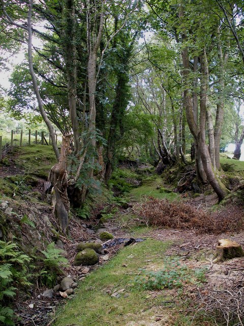
Image: © Christopher Hall Taken: 12 Aug 2014
This tree lined hollow way is clearly an ancient route or Old Way and is shown on the map as a right of way, though difficult to use.
Images are licensed for reuse under creativecommons.org/licenses/by-sa/2.0
Image Location
Latitude
53.211558
Longitude
-3.869967