Junction, Higher Brixham
Introduction
The photograph on this page of Junction, Higher Brixham by Derek Harper as part of the Geograph project.
The Geograph project started in 2005 with the aim of publishing, organising and preserving representative images for every square kilometre of Great Britain, Ireland and the Isle of Man.

There are currently over 7.5m images from over 14,400 individuals and you can help contribute to the project by visiting https://www.geograph.org.uk
Junction, Higher Brixham
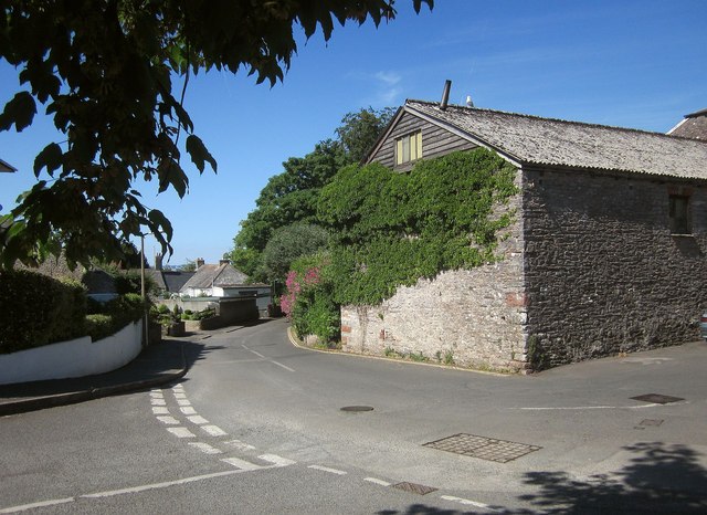
Image: © Derek Harper Taken: 12 Jun 2014
The junction of St Mary's Road (right and ahead) with Upton Manor Park. On the right is the Old Dairy - see Image
Images are licensed for reuse under creativecommons.org/licenses/by-sa/2.0
Image Location
Latitude
50.38366
Longitude
-3.515229