Building site on the corner of Deadmans Lane
Introduction
The photograph on this page of Building site on the corner of Deadmans Lane by John Baker as part of the Geograph project.
The Geograph project started in 2005 with the aim of publishing, organising and preserving representative images for every square kilometre of Great Britain, Ireland and the Isle of Man.

There are currently over 7.5m images from over 14,400 individuals and you can help contribute to the project by visiting https://www.geograph.org.uk
Building site on the corner of Deadmans Lane
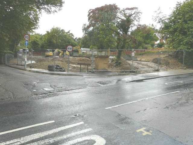
Image: © John Baker Taken: 17 Aug 2014
Seen from Fishmarket Road (A268), planning permission has been approved, with conditions, by Rother District Council under application number RR/2012/1637/P for the “erection of a three bedroom dwelling”.
Images are licensed for reuse under creativecommons.org/licenses/by-sa/2.0
Image Location
Latitude
50.956282
Longitude
0.735268