Mound, Mitcham Common
Introduction
The photograph on this page of Mound, Mitcham Common by Robin Webster as part of the Geograph project.
The Geograph project started in 2005 with the aim of publishing, organising and preserving representative images for every square kilometre of Great Britain, Ireland and the Isle of Man.

There are currently over 7.5m images from over 14,400 individuals and you can help contribute to the project by visiting https://www.geograph.org.uk
Mound, Mitcham Common
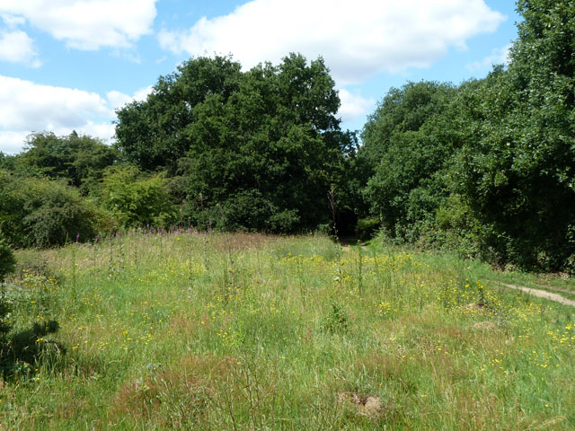
Image: © Robin Webster Taken: 1 Jul 2011
This has never been mapped, but on aerial photographs it seems to be there in 1946 in a mature state.
Images are licensed for reuse under creativecommons.org/licenses/by-sa/2.0
Image Location
Latitude
51.395435
Longitude
-0.138682