Wineham Lane
Introduction
The photograph on this page of Wineham Lane by Simon Carey as part of the Geograph project.
The Geograph project started in 2005 with the aim of publishing, organising and preserving representative images for every square kilometre of Great Britain, Ireland and the Isle of Man.

There are currently over 7.5m images from over 14,400 individuals and you can help contribute to the project by visiting https://www.geograph.org.uk
Wineham Lane
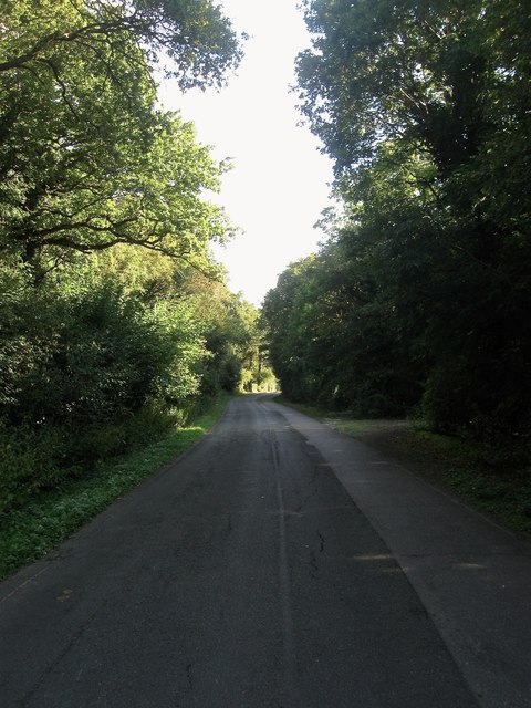
Image: © Simon Carey Taken: 23 Aug 2014
Here providing the parish boundary between Shermanbury to the left and Twineham to the right. Up until 1974 it was also the county boundary between East and West Sussex.
Images are licensed for reuse under creativecommons.org/licenses/by-sa/2.0
Image Location
Latitude
50.97674
Longitude
-0.23838