Gas Ferry Road (North)
Introduction
The photograph on this page of Gas Ferry Road (North) by Anthony O'Neil as part of the Geograph project.
The Geograph project started in 2005 with the aim of publishing, organising and preserving representative images for every square kilometre of Great Britain, Ireland and the Isle of Man.

There are currently over 7.5m images from over 14,400 individuals and you can help contribute to the project by visiting https://www.geograph.org.uk
Gas Ferry Road (North)
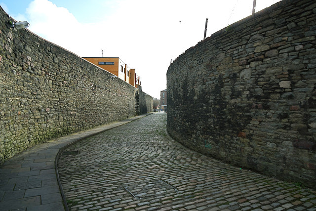
Image: © Anthony O'Neil Taken: 27 Feb 2014
Reminds us of when a ferry ran between the adjacent former Gas Works and the south bank of Bristol Harbour, where the road continues as Gas Ferry Road (South) alongside the SS Great Britain car park to Cumberland Road on the Avon New Cut. The old stone rubble walls are subject to a preservation order.
Images are licensed for reuse under creativecommons.org/licenses/by-sa/2.0
Image Location
Latitude
51.449914
Longitude
-2.606509