Access road to Merrylands Farm
Introduction
The photograph on this page of Access road to Merrylands Farm by Alan Hunt as part of the Geograph project.
The Geograph project started in 2005 with the aim of publishing, organising and preserving representative images for every square kilometre of Great Britain, Ireland and the Isle of Man.

There are currently over 7.5m images from over 14,400 individuals and you can help contribute to the project by visiting https://www.geograph.org.uk
Access road to Merrylands Farm
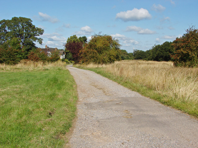
Image: © Alan Hunt Taken: 20 Aug 2014
The access road off Church Road to Merrylands Farm, a residential cul-de-sac. The old maps have Merrylands Farm positioned further up Church Road near the corner by the station. This site used to be occupied by another farm.
Images are licensed for reuse under creativecommons.org/licenses/by-sa/2.0
Image Location
Latitude
51.28706
Longitude
-0.379835