The south western approach to Lowdham
Introduction
The photograph on this page of The south western approach to Lowdham by Richard Vince as part of the Geograph project.
The Geograph project started in 2005 with the aim of publishing, organising and preserving representative images for every square kilometre of Great Britain, Ireland and the Isle of Man.

There are currently over 7.5m images from over 14,400 individuals and you can help contribute to the project by visiting https://www.geograph.org.uk
The south western approach to Lowdham
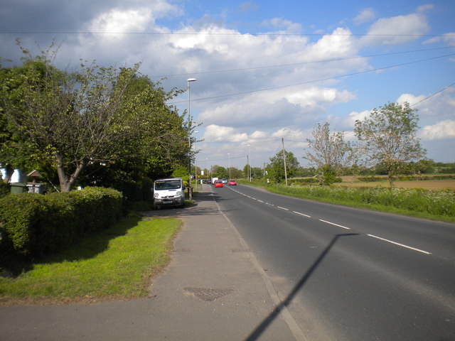
Image: © Richard Vince Taken: 14 May 2014
Looking towards the village proper from outside the first house one encounters when entering Lowdham along the A612 from Nottingham.
Images are licensed for reuse under creativecommons.org/licenses/by-sa/2.0
Image Location
Latitude
53.00421
Longitude
-1.008526