The site of Pond House
Introduction
The photograph on this page of The site of Pond House by Alan Murray-Rust as part of the Geograph project.
The Geograph project started in 2005 with the aim of publishing, organising and preserving representative images for every square kilometre of Great Britain, Ireland and the Isle of Man.

There are currently over 7.5m images from over 14,400 individuals and you can help contribute to the project by visiting https://www.geograph.org.uk
The site of Pond House
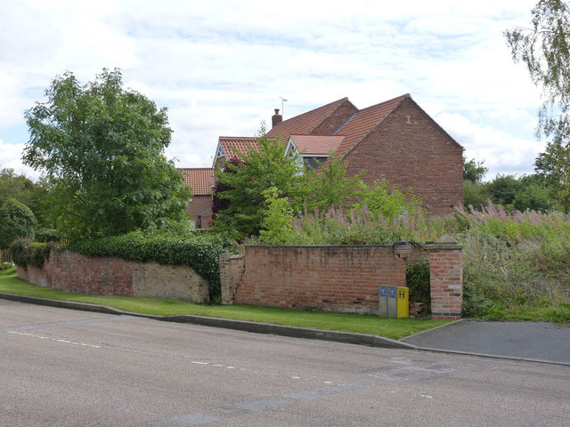
Image: © Alan Murray-Rust Taken: 22 Aug 2014
There is a bench mark http://www.geograph.org.uk/photo/4139682 just to the left of the lighter central section of the brick wall.
Images are licensed for reuse under creativecommons.org/licenses/by-sa/2.0
Image Location
Latitude
53.250266
Longitude
-0.888191