Poplar tree lined drive to Anderson Farm or is it Coultas Farm as per the map?
Introduction
The photograph on this page of Poplar tree lined drive to Anderson Farm or is it Coultas Farm as per the map? by Steve Fareham as part of the Geograph project.
The Geograph project started in 2005 with the aim of publishing, organising and preserving representative images for every square kilometre of Great Britain, Ireland and the Isle of Man.

There are currently over 7.5m images from over 14,400 individuals and you can help contribute to the project by visiting https://www.geograph.org.uk
Poplar tree lined drive to Anderson Farm or is it Coultas Farm as per the map?
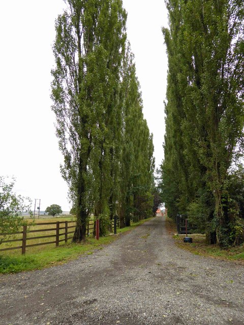
Image: © Steve Fareham Taken: 26 Aug 2014
Images are licensed for reuse under creativecommons.org/licenses/by-sa/2.0
Image Location
Latitude
53.137395
Longitude
-0.993205