Blake's Hill at the 39 metre spot height
Introduction
The photograph on this page of Blake's Hill at the 39 metre spot height by Christine Johnstone as part of the Geograph project.
The Geograph project started in 2005 with the aim of publishing, organising and preserving representative images for every square kilometre of Great Britain, Ireland and the Isle of Man.

There are currently over 7.5m images from over 14,400 individuals and you can help contribute to the project by visiting https://www.geograph.org.uk
Blake's Hill at the 39 metre spot height
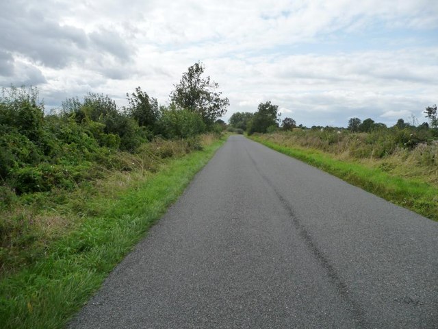
Image: © Christine Johnstone Taken: 20 Aug 2014
Looking west, towards North Littleton.
Images are licensed for reuse under creativecommons.org/licenses/by-sa/2.0
Image Location


Leaflet Map data © OpenStreetMap
Latitude
52.119344
Longitude
-1.859893