From Main Street Cadeby to Cadeby Lane
Introduction
The photograph on this page of From Main Street Cadeby to Cadeby Lane by Jaggery as part of the Geograph project.
The Geograph project started in 2005 with the aim of publishing, organising and preserving representative images for every square kilometre of Great Britain, Ireland and the Isle of Man.

There are currently over 7.5m images from over 14,400 individuals and you can help contribute to the project by visiting https://www.geograph.org.uk
From Main Street Cadeby to Cadeby Lane
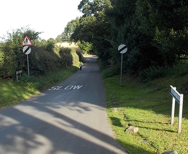
Image: © Jaggery Taken: 24 Aug 2014
Near the northern edge of Cadeby, the 30mph speed limit along Main Street increases to the National Speed Limit along Cadeby Lane, the road to Market Bosworth. The placement of the SLOW sign on the road surface here seems odd. Should it be facing the other way?
Images are licensed for reuse under creativecommons.org/licenses/by-sa/2.0
Image Location
Latitude
52.619253
Longitude
-1.375741