Shireoaks - St Luke's Terrace
Introduction
The photograph on this page of Shireoaks - St Luke's Terrace by Dave Bevis as part of the Geograph project.
The Geograph project started in 2005 with the aim of publishing, organising and preserving representative images for every square kilometre of Great Britain, Ireland and the Isle of Man.

There are currently over 7.5m images from over 14,400 individuals and you can help contribute to the project by visiting https://www.geograph.org.uk
Shireoaks - St Luke's Terrace
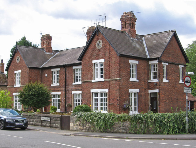
Image: © Dave Bevis Taken: 23 Aug 2014
At the junction of Shireoaks Road and Thorpe Lane, almost opposite St Luke's Church. Comprising of 4 houses, it was built in the 1860's - for more information, please see http://web.archive.org/web/20131109145043/http://www.shireoakshistory.fsnet.co.uk:80/sitesofhistoricalinterest.htm .
Images are licensed for reuse under creativecommons.org/licenses/by-sa/2.0
Image Location
Latitude
53.322232
Longitude
-1.170968