Looking over arable land to the Alde Valley, Sudbourne
Introduction
The photograph on this page of Looking over arable land to the Alde Valley, Sudbourne by Roger Jones as part of the Geograph project.
The Geograph project started in 2005 with the aim of publishing, organising and preserving representative images for every square kilometre of Great Britain, Ireland and the Isle of Man.

There are currently over 7.5m images from over 14,400 individuals and you can help contribute to the project by visiting https://www.geograph.org.uk
Looking over arable land to the Alde Valley, Sudbourne
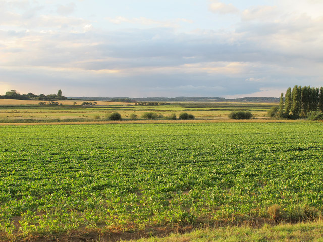
Image: © Roger Jones Taken: 23 Aug 2014
Arable land near Ferry Farm, with the River Alde Valley in the distance.
Images are licensed for reuse under creativecommons.org/licenses/by-sa/2.0
Image Location
Latitude
52.138574
Longitude
1.566782