Oadby, Leicester LE2
Introduction
The photograph on this page of Oadby, Leicester LE2 by David Hallam-Jones as part of the Geograph project.
The Geograph project started in 2005 with the aim of publishing, organising and preserving representative images for every square kilometre of Great Britain, Ireland and the Isle of Man.

There are currently over 7.5m images from over 14,400 individuals and you can help contribute to the project by visiting https://www.geograph.org.uk
Oadby, Leicester LE2
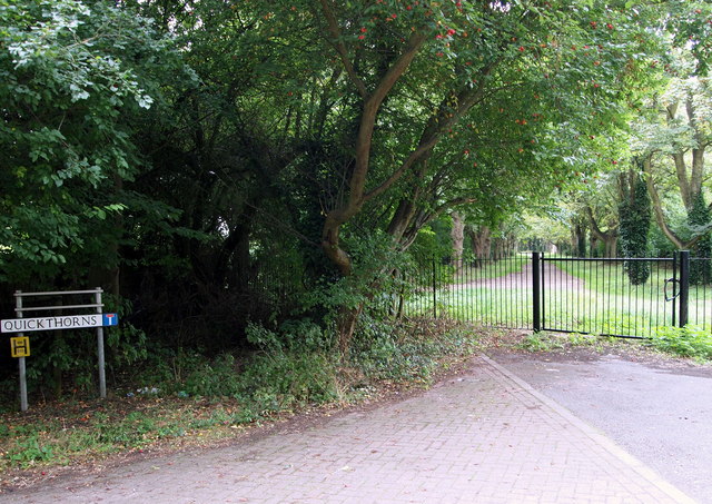
Image: © David Hallam-Jones Taken: 24 Aug 2014
Quickthorns is a cluster of short, stubby interlinked roads that serve a new housing estate. This road, that empties out into Southmeads Road, was once linked to the track ahead, which is known as Blackthorn Lane. Pedestrians passing through the gate and turning right would, within a couple of minutes, find themselves exiting Blackthorn Lane and joining Whitebeam Lane. Alternatively the tree-lined avenue ahead takes walkers and cyclists towards the northern-most end of Blackthorn Lane, that empties into Manor Road within about a mile. Since occasional official signs along the track ahead indicate that various fields, buildings and facilities belong to The University of Leicester, it would seem likely that this is a permissive path only.
Images are licensed for reuse under creativecommons.org/licenses/by-sa/2.0
Image Location
Latitude
52.606968
Longitude
-1.077474