Former mills
Introduction
The photograph on this page of Former mills by Anne Burgess as part of the Geograph project.
The Geograph project started in 2005 with the aim of publishing, organising and preserving representative images for every square kilometre of Great Britain, Ireland and the Isle of Man.

There are currently over 7.5m images from over 14,400 individuals and you can help contribute to the project by visiting https://www.geograph.org.uk
Former mills
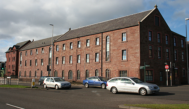
Image: © Anne Burgess Taken: 18 Aug 2014
I was sure I remembered this being the premises of the Arbroath Herald, but it says nothing about that now, having presumably been converted to flats. It is right beside Burnside Drive, which is the name applied here to the dual carriageway that slices through the middle of the town.
Images are licensed for reuse under creativecommons.org/licenses/by-sa/2.0
Image Location
Latitude
56.558511
Longitude
-2.585336