Kensal Rise railway station, Greater London
Introduction
The photograph on this page of Kensal Rise railway station, Greater London by Nigel Thompson as part of the Geograph project.
The Geograph project started in 2005 with the aim of publishing, organising and preserving representative images for every square kilometre of Great Britain, Ireland and the Isle of Man.

There are currently over 7.5m images from over 14,400 individuals and you can help contribute to the project by visiting https://www.geograph.org.uk
Kensal Rise railway station, Greater London
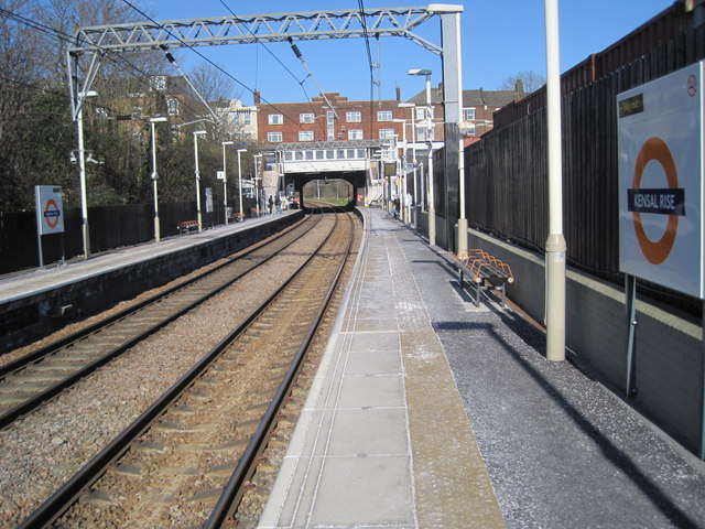
Image: © Nigel Thompson Taken: 2 Apr 2013
Opened in 1873 as Kensal Green on the Hampstead Junction Railway line from Dalston to Willesden, this station was renamed to Kensal Rise in 1890. View north east towards Brondesbury Park and Dalston.
Images are licensed for reuse under creativecommons.org/licenses/by-sa/2.0
Image Location


Leaflet Map data © OpenStreetMap
Latitude
51.534289
Longitude
-0.2204