New Walk Vicinity, Leicester LE1
Introduction
The photograph on this page of New Walk Vicinity, Leicester LE1 by David Hallam-Jones as part of the Geograph project.
The Geograph project started in 2005 with the aim of publishing, organising and preserving representative images for every square kilometre of Great Britain, Ireland and the Isle of Man.

There are currently over 7.5m images from over 14,400 individuals and you can help contribute to the project by visiting https://www.geograph.org.uk
New Walk Vicinity, Leicester LE1
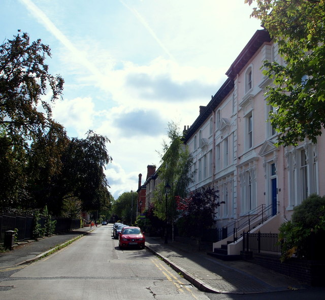
Image: © David Hallam-Jones Taken: 24 Aug 2014
Houses in Princess Road East that face a small lawned area (park) stretching from these railings to New Walk, a long public footpath stretching from the city centre to Victoria Park on the east side of Leicester.
Images are licensed for reuse under creativecommons.org/licenses/by-sa/2.0
Image Location
Latitude
52.628013
Longitude
-1.126082