Flats on Sherbrooke Way
Introduction
The photograph on this page of Flats on Sherbrooke Way by Robin Webster as part of the Geograph project.
The Geograph project started in 2005 with the aim of publishing, organising and preserving representative images for every square kilometre of Great Britain, Ireland and the Isle of Man.

There are currently over 7.5m images from over 14,400 individuals and you can help contribute to the project by visiting https://www.geograph.org.uk
Flats on Sherbrooke Way
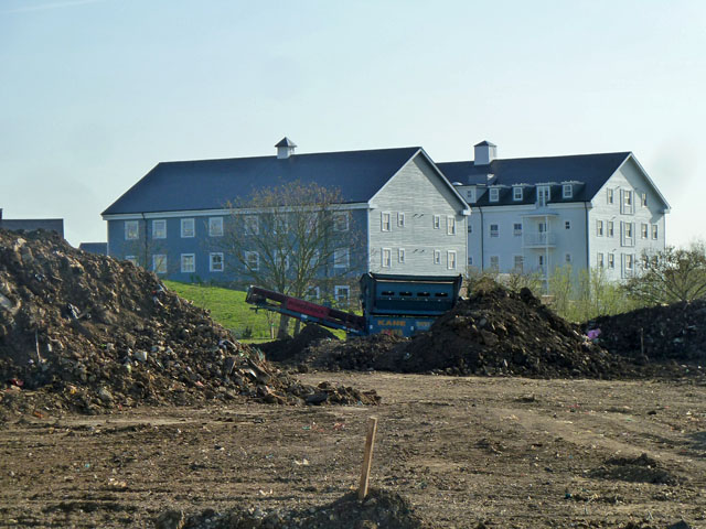
Image: © Robin Webster Taken: 1 Apr 2012
Seen across an area that seems to have been some sort of rubbish tip, and is being cleaned up and levelled for a cemetery extension.
Images are licensed for reuse under creativecommons.org/licenses/by-sa/2.0
Image Location


Leaflet Map data © OpenStreetMap
Latitude
51.384996
Longitude
-0.231084