Harvested field flood plain of the Drumadonnell River
Introduction
The photograph on this page of Harvested field flood plain of the Drumadonnell River by Eric Jones as part of the Geograph project.
The Geograph project started in 2005 with the aim of publishing, organising and preserving representative images for every square kilometre of Great Britain, Ireland and the Isle of Man.

There are currently over 7.5m images from over 14,400 individuals and you can help contribute to the project by visiting https://www.geograph.org.uk
Harvested field flood plain of the Drumadonnell River
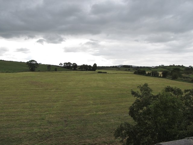
Image: © Eric Jones Taken: 15 Aug 2014
This image westwards was taken from the railway bridge. Little remains of the track bed on this side of the bridge. The small section of hedge in the fence in the background stands next to a gate. The gate stands across what used to be the trackbed.
Images are licensed for reuse under creativecommons.org/licenses/by-sa/2.0
Image Location
Latitude
54.278655
Longitude
-6.079058