The stoss end of a drumlin above Flush Road
Introduction
The photograph on this page of The stoss end of a drumlin above Flush Road by Eric Jones as part of the Geograph project.
The Geograph project started in 2005 with the aim of publishing, organising and preserving representative images for every square kilometre of Great Britain, Ireland and the Isle of Man.

There are currently over 7.5m images from over 14,400 individuals and you can help contribute to the project by visiting https://www.geograph.org.uk
The stoss end of a drumlin above Flush Road
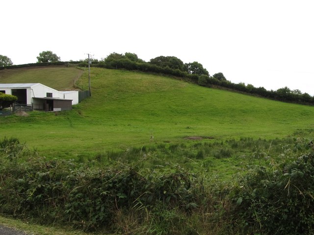
Image: © Eric Jones Taken: 15 Aug 2014
The tall trees mark the site of a rath. A rath is a walled enclosure dating back to the tribal period.
Images are licensed for reuse under creativecommons.org/licenses/by-sa/2.0
Image Location
Latitude
54.274198
Longitude
-6.064374