Road beneath the M4 flyover near Briton Ferry
Introduction
The photograph on this page of Road beneath the M4 flyover near Briton Ferry by Gareth James as part of the Geograph project.
The Geograph project started in 2005 with the aim of publishing, organising and preserving representative images for every square kilometre of Great Britain, Ireland and the Isle of Man.

There are currently over 7.5m images from over 14,400 individuals and you can help contribute to the project by visiting https://www.geograph.org.uk
Road beneath the M4 flyover near Briton Ferry
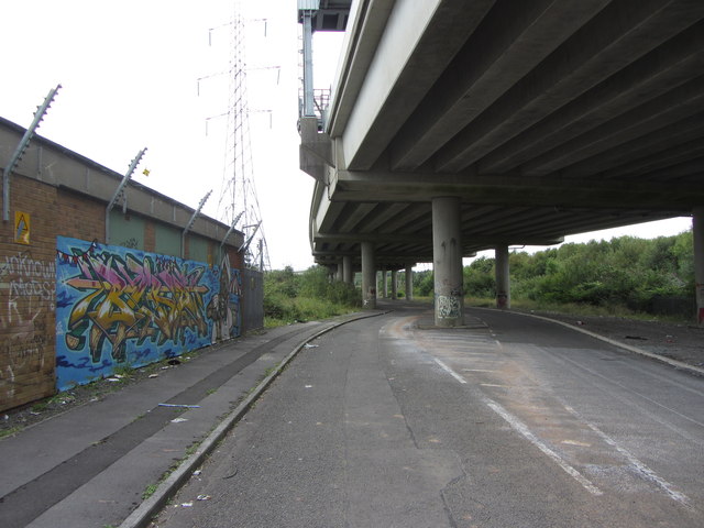
Image: © Gareth James Taken: 24 Aug 2014
From the OS and Google maps, the road arrangements are not obvious, but an industrial estate road runs directly beneath the M4 flyover for some of its length, seen here beside an electricity sub-station.
Images are licensed for reuse under creativecommons.org/licenses/by-sa/2.0
Image Location
Latitude
51.625178
Longitude
-3.821633