Village pinfold, Hartley
Introduction
The photograph on this page of Village pinfold, Hartley by Gordon Hatton as part of the Geograph project.
The Geograph project started in 2005 with the aim of publishing, organising and preserving representative images for every square kilometre of Great Britain, Ireland and the Isle of Man.

There are currently over 7.5m images from over 14,400 individuals and you can help contribute to the project by visiting https://www.geograph.org.uk
Village pinfold, Hartley
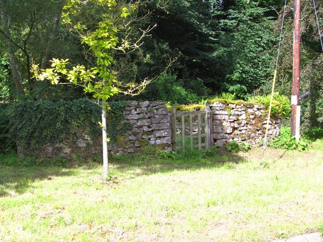
Image: © Gordon Hatton Taken: 24 Aug 2014
A small stone enclosure in the village street, shown on early edition OS maps as a 'pound' or pinfold, put here to confine stray animals.
Images are licensed for reuse under creativecommons.org/licenses/by-sa/2.0
Image Location
Latitude
54.475528
Longitude
-2.336993