Heol Dinas
Introduction
The photograph on this page of Heol Dinas by Ian Capper as part of the Geograph project.
The Geograph project started in 2005 with the aim of publishing, organising and preserving representative images for every square kilometre of Great Britain, Ireland and the Isle of Man.

There are currently over 7.5m images from over 14,400 individuals and you can help contribute to the project by visiting https://www.geograph.org.uk
Heol Dinas
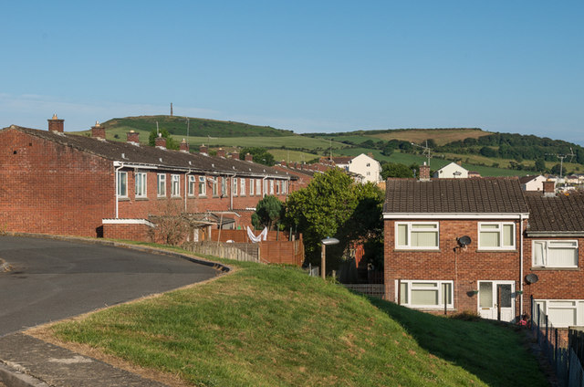
Image: © Ian Capper Taken: 11 Jul 2014
1960s/1970s housing, part of a large estate on the outskirts of Aberystwyth. In the background is Pendinas, topped by the Wellington Monument.
Images are licensed for reuse under creativecommons.org/licenses/by-sa/2.0
Image Location
Latitude
52.400276
Longitude
-4.064546