Amid Cotswold fields and lanes - Brimpsfield, Gloucestershire
Introduction
The photograph on this page of Amid Cotswold fields and lanes - Brimpsfield, Gloucestershire by Martin Richard Phelan as part of the Geograph project.
The Geograph project started in 2005 with the aim of publishing, organising and preserving representative images for every square kilometre of Great Britain, Ireland and the Isle of Man.

There are currently over 7.5m images from over 14,400 individuals and you can help contribute to the project by visiting https://www.geograph.org.uk
Amid Cotswold fields and lanes - Brimpsfield, Gloucestershire
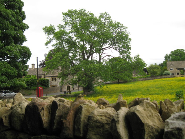
Image: © Martin Richard Phelan Taken: 23 Jun 2013
A view, taken on the northern edge of the village on the road from Birdlip, of a corner of the village of Brimpsfield which lies to the south-west of the A417 road from Cirencester to Gloucester. The 12th century parish church of St Michael was built by a member of the Giffard family. The family were given Brimpsfield by William the Conqueror and there was a castle hereabouts until its demolition in 1322 after a family member joined in a rebellion against Edward II and was subsequently beheaded/hanged at Gloucester. The village was given a market at some time before 1400, but with the isolated position of the village and poor communications, it was not a success. Many generations must have passed along these lanes through the centuries, both travellers across Cotswold and local residents about their daily business. Time photo taken 5.02 pm BST (British Summer Time).
Images are licensed for reuse under creativecommons.org/licenses/by-sa/2.0
Image Location
Latitude
51.812358
Longitude
-2.090032