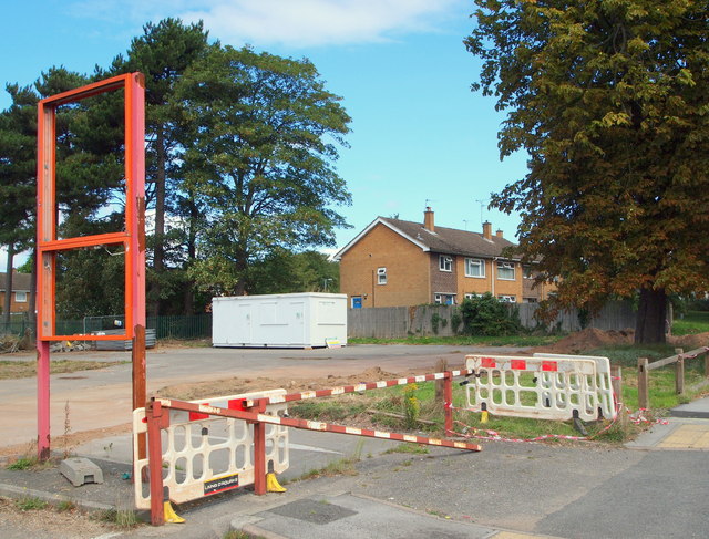
Daybrook, Nottingham NG5
Introduction
The photograph on this page of Daybrook, Nottingham NG5 by David Hallam-Jones as part of the Geograph project.
The Geograph project started in 2005 with the aim of publishing, organising and preserving representative images for every square kilometre of Great Britain, Ireland and the Isle of Man.
There are currently over 7.5m images from over 14,400 individuals and you can help contribute to the project by visiting https://www.geograph.org.uk

Image: © David Hallam-Jones Taken: 23 Aug 2014
The entrance to the site previously occupied by The White Hart public house off the main Nottingham-Mansfield road (the A60). Following the pub's closure in 2009 the building was demolished and the site has remained unused. More recently however, the LIDL supermarket chain has been granted permission to open a new store on the site and early construction-related activity suggests that the project is being moved forward. Once completed, this new store would have to compete for customers with a nearby Sainsbury's supermarket and also with a new ALDI supermarket that is halfway towards being completed 400 metres away on Mansfield Road in the Sherwood direction. The new ALDI store is being built on the former Daybrook Laundry site.

