West Lulworth: a view over the village
Introduction
The photograph on this page of West Lulworth: a view over the village by Chris Downer as part of the Geograph project.
The Geograph project started in 2005 with the aim of publishing, organising and preserving representative images for every square kilometre of Great Britain, Ireland and the Isle of Man.

There are currently over 7.5m images from over 14,400 individuals and you can help contribute to the project by visiting https://www.geograph.org.uk
West Lulworth: a view over the village
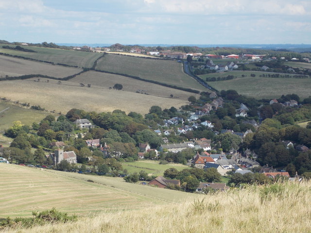
Image: © Chris Downer Taken: 23 Aug 2014
Looking across the main village area, rather north of the Cove, from the lofty heights of Hambury Tout, to the west.
Images are licensed for reuse under creativecommons.org/licenses/by-sa/2.0
Image Location


Leaflet Map data © OpenStreetMap
Latitude
50.625102
Longitude
-2.250741