Daybrook, Nottingham NG5
Introduction
The photograph on this page of Daybrook, Nottingham NG5 by David Hallam-Jones as part of the Geograph project.
The Geograph project started in 2005 with the aim of publishing, organising and preserving representative images for every square kilometre of Great Britain, Ireland and the Isle of Man.

There are currently over 7.5m images from over 14,400 individuals and you can help contribute to the project by visiting https://www.geograph.org.uk
Daybrook, Nottingham NG5
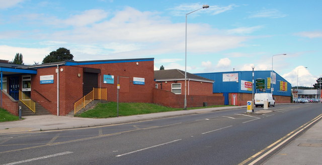
Image: © David Hallam-Jones Taken: 23 Aug 2014
The Daybrook Health Centre, together with some commercial premises, are seen here on the section of Mansfield Road (i.e. the A60) that approaches the busy Oxclose Lane (B6004) junction. The junction itself lies beyond the silvery-grey, single-storey car sales franchise in the distance.
Images are licensed for reuse under creativecommons.org/licenses/by-sa/2.0
Image Location
Latitude
53.00163
Longitude
-1.138973