Kay's Hill, Chilton
Introduction
The photograph on this page of Kay's Hill, Chilton by Oliver Dixon as part of the Geograph project.
The Geograph project started in 2005 with the aim of publishing, organising and preserving representative images for every square kilometre of Great Britain, Ireland and the Isle of Man.

There are currently over 7.5m images from over 14,400 individuals and you can help contribute to the project by visiting https://www.geograph.org.uk
Kay's Hill, Chilton
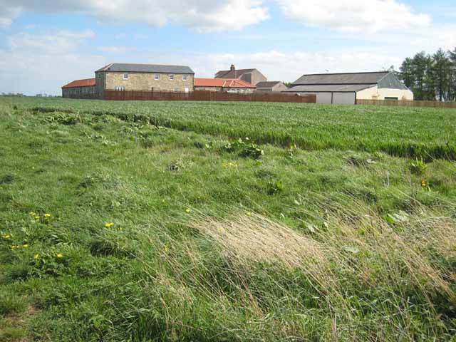
Image: © Oliver Dixon Taken: 24 Apr 2007
It is not obvious what sort of operation is functioning from what was at one time clearly an ordinary working farm. There is a considerable amount of living accommodation (possibly several barn conversion units) and a very large warehouse type of structure to the right of the photograph.
Images are licensed for reuse under creativecommons.org/licenses/by-sa/2.0
Image Location
Latitude
54.660884
Longitude
-1.540184