Stags End House
Introduction
The photograph on this page of Stags End House by Bikeboy as part of the Geograph project.
The Geograph project started in 2005 with the aim of publishing, organising and preserving representative images for every square kilometre of Great Britain, Ireland and the Isle of Man.

There are currently over 7.5m images from over 14,400 individuals and you can help contribute to the project by visiting https://www.geograph.org.uk
Stags End House
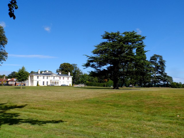
Image: © Bikeboy Taken: 21 Aug 2014
This is a C19 building on the site of earlier building(s). The name was "Tags End" on the tithe map of 1838 and Gaddesdenbury in 1851. The medieval name of the site was Taggeshende. See http://www.britishlistedbuildings.co.uk/en-157859-stags-end-house-great-gaddesden-hertford. Now seems to be used as offices.
Images are licensed for reuse under creativecommons.org/licenses/by-sa/2.0
Image Location
Latitude
51.797443
Longitude
-0.4521