Black Mountains path
Introduction
The photograph on this page of Black Mountains path by David Pearson as part of the Geograph project.
The Geograph project started in 2005 with the aim of publishing, organising and preserving representative images for every square kilometre of Great Britain, Ireland and the Isle of Man.

There are currently over 7.5m images from over 14,400 individuals and you can help contribute to the project by visiting https://www.geograph.org.uk
Black Mountains path
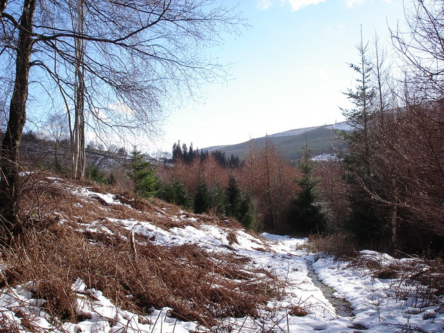
Image: © David Pearson Taken: 11 Feb 2007
This rarely-used path cuts downhill from a forestry track, and beyond here several small and overgrown paths head down into the trees, some meeting another forestry track, others need careful navigation from the map. More appealing in the snow than without it !
Images are licensed for reuse under creativecommons.org/licenses/by-sa/2.0
Image Location
Latitude
51.932005
Longitude
-3.084957