Castle Cara, Rockport House, Torr Road, Cushendun
Introduction
The photograph on this page of Castle Cara, Rockport House, Torr Road, Cushendun by Jo and Steve Turner as part of the Geograph project.
The Geograph project started in 2005 with the aim of publishing, organising and preserving representative images for every square kilometre of Great Britain, Ireland and the Isle of Man.

There are currently over 7.5m images from over 14,400 individuals and you can help contribute to the project by visiting https://www.geograph.org.uk
Castle Cara, Rockport House, Torr Road, Cushendun
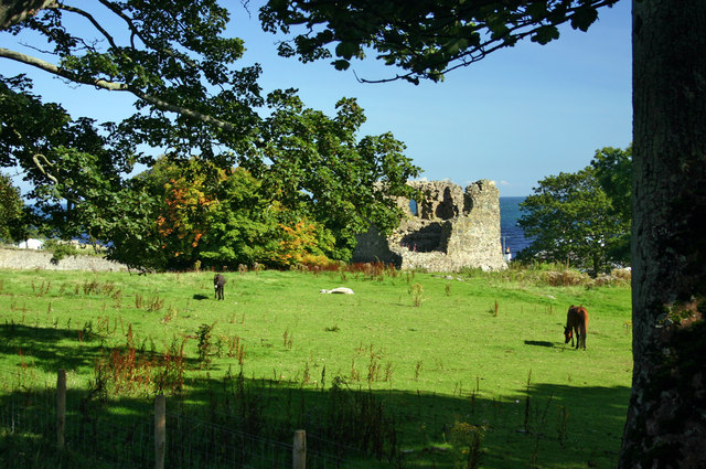
Image: © Jo and Steve Turner Taken: 8 Sep 2006
The exact date of construction of the castle is unclear, it may have been a Norman outpost and then rebuilt in the 14th century. Shane O'Neill is said to have had possession of the castle in 1565 when Sorely Boy McDonnell was defeated at the Battle of Glentaisie. Shane was killed in 1567 during peace talks, possibly by order of the English Deputy of Ireland Sir Henry Sidney but the McDonnell's regained possession of the castle at this time.
Images are licensed for reuse under creativecommons.org/licenses/by-sa/2.0
Image Location
Latitude
55.132586
Longitude
-6.041546