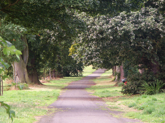
"The Avenue"
Introduction
The photograph on this page of "The Avenue" by Simon Johnston as part of the Geograph project.
The Geograph project started in 2005 with the aim of publishing, organising and preserving representative images for every square kilometre of Great Britain, Ireland and the Isle of Man.
There are currently over 7.5m images from over 14,400 individuals and you can help contribute to the project by visiting https://www.geograph.org.uk

Image: © Simon Johnston Taken: 22 Aug 2005
Dovecot Park. Aberdour, Fife The Earl of Moray's Estate. Now part of Fife's Coastal Path and National Cycle Network (traffic free route). Runs alongside Aberdour Golf Course then through fields. Past Monks Cave and Braefoot point - old wartime gun-emplacements and fortifications. Eventually the path becomes coastal running beside the sea at Dalgety Bay and Donibristle. Part of Beech Avenue as it was over a hundred years ago: http://ibase.abdn.ac.uk/aberdeenic/index.php?a=wordsearch&s=item&key=WczoxMjoiYmVlY2ggYXZlbnVlIjs=&pg=1
Image Location


