Beltinge Baptist Church
Introduction
The photograph on this page of Beltinge Baptist Church by Jonathan Billinger as part of the Geograph project.
The Geograph project started in 2005 with the aim of publishing, organising and preserving representative images for every square kilometre of Great Britain, Ireland and the Isle of Man.

There are currently over 7.5m images from over 14,400 individuals and you can help contribute to the project by visiting https://www.geograph.org.uk
Beltinge Baptist Church
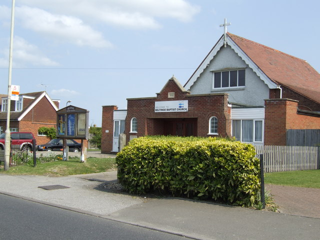
Image: © Jonathan Billinger Taken: 25 Apr 2007
Serving a suburb on the eastern side of Herne Bay.
Images are licensed for reuse under creativecommons.org/licenses/by-sa/2.0
Image Location
Latitude
51.36635
Longitude
1.149457